The Gaza Strip is a region that is frequently in the news due to its geopolitical significance, ongoing conflicts, and its importance in the Middle East. Many people are familiar with the name "Gaza," but might not be entirely clear on where it is located or why it is so significant. In this topic, we will explore the location of Gaza on a map, its geographical context, and provide insights into the region’s importance.
What is the Gaza Strip?
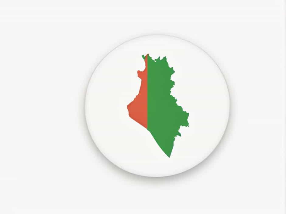
The Gaza Strip, often simply called "Gaza," is a narrow piece of land situated on the eastern coast of the Mediterranean Sea. It is bordered by Egypt to the southwest and Israel to the east and north. Despite its small size, the Gaza Strip has been at the center of a long-standing political and territorial dispute. It covers an area of about 365 square kilometers (141 square miles), making it one of the most densely populated regions in the world.
Gaza is home to over 2 million people, many of whom live in refugee camps. It is also one of the most politically complex regions, as it is controlled by the Palestinian political and militant group Hamas, which is distinct from the Palestinian Authority that governs parts of the West Bank. Gaza’s political, humanitarian, and security issues have made it a focal point of the Israeli-Palestinian conflict.
Where is Gaza on a Map?
On a map, the Gaza Strip is located in the southwestern corner of the Middle East. It is part of the larger geographical region known as the Levant, which includes countries such as Lebanon, Syria, Jordan, Israel, and Palestine. Gaza lies along the Mediterranean coast, between Israel and Egypt.
Proximity to Key Locations
-
Israel: To the north and east of Gaza lies Israel, a country that has had a tumultuous relationship with the region. The boundary between Gaza and Israel is highly contentious, with frequent disputes over territorial rights, security, and the movement of people and goods.
-
Egypt: To the southwest of Gaza is Egypt, which shares a border with the Gaza Strip. Egypt has played a key role in mediating between Palestinian factions and Israel, and it also controls the Rafah border crossing, which is the main exit point for Gaza residents traveling outside the region.
-
Mediterranean Sea: To the west of Gaza lies the Mediterranean Sea, providing Gaza with limited access to international waters. This access is important for trade and fishing, but Israel has imposed a naval blockade on Gaza in an attempt to limit the movement of goods and people in and out of the region.
Gaza’s Location on a Global Map
On a global map, the Gaza Strip is positioned at approximately 31.5 degrees North latitude and 34.5 degrees East longitude. This places Gaza in the northeastern part of Africa, with the Mediterranean Sea acting as a natural boundary to the west. It is part of the larger region of Palestine, which includes both Gaza and the West Bank.
Gaza’s location on the Mediterranean coast makes it strategically important. It serves as a land bridge between Africa and Asia, and its proximity to both Israel and Egypt has made it a focal point in the Middle East’s political and security concerns.
Geographical Features of Gaza
The Gaza Strip is a relatively small piece of land, but it has a number of geographical features that are significant to its inhabitants and the ongoing conflicts in the region.
-
Coastal Plain: Much of Gaza consists of a flat coastal plain that extends along the Mediterranean coastline. This area is where most of the population resides, and it is characterized by urban settlements, agriculture, and limited industrial development. The coast is also important for fishing, which is a key industry for the people living in Gaza.
-
Rural and Urban Areas: Gaza has both urban and rural areas. The largest city is Gaza City, which serves as the administrative and economic center of the region. Other significant towns in Gaza include Khan Yunis, Rafah, and Deir al-Balah. Many of these cities are densely populated, with large numbers of people living in crowded conditions.
-
Rivers and Water Resources: The Gaza Strip has limited natural freshwater resources. The main source of water for the region is the Coastal Aquifer, which is shared with Israel and Egypt. However, water scarcity is a major issue, with most of Gaza’s groundwater being contaminated, leading to severe shortages of clean water.
-
The Rafah Border Crossing: One of the most important geographical locations in Gaza is the Rafah border crossing, which connects Gaza with Egypt. This crossing is a vital gateway for trade and movement of people, especially for those seeking medical treatment or attempting to flee the region.
Gaza’s Political and Historical Context
While Gaza’s geographical location is important, the political history and ongoing conflicts in the region add further complexity. For much of the 20th century, Gaza was part of the British Mandate of Palestine. After the creation of Israel in 1948, Gaza came under Egyptian control. In 1967, during the Six-Day War, Israel took control of Gaza, and it remained under Israeli occupation until 2005.
In 2005, Israel unilaterally withdrew from the Gaza Strip, dismantling its settlements and military presence. However, Israel retained control over Gaza’s airspace, maritime boundaries, and border crossings, leading to ongoing disputes over the region’s autonomy.
In 2007, after the Hamas militant group took control of Gaza following a violent conflict with the rival Fatah faction, the region became a de facto independent entity, although it remains under blockade by both Israel and Egypt.
The geopolitical importance of Gaza is amplified by its proximity to Israel and Egypt, two key regional players. The region has been a site of multiple wars, military operations, and humanitarian crises, further adding to its significance on the world stage.
Gaza’s Role in the Israeli-Palestinian Conflict
Gaza plays a central role in the broader Israeli-Palestinian conflict. The ongoing territorial dispute between Israelis and Palestinians, along with issues such as the status of Jerusalem, refugees, and borders, has made Gaza a focal point of international attention.
Hamas, which governs Gaza, has been designated as a terrorist organization by Israel, the United States, and several other countries. This has led to a situation where Gaza is cut off from many forms of international support, facing significant economic hardships. Meanwhile, Israel has sought to ensure its security by maintaining a blockade, preventing the flow of weapons into Gaza, and restricting the movement of goods and people.
Gaza is a small but highly significant region located on the eastern coast of the Mediterranean Sea, bordered by Israel and Egypt. Its strategic position and the complex political dynamics of the region make it an important area in global geopolitics. Understanding where Gaza is on a map is essential for grasping the ongoing issues surrounding the Israeli-Palestinian conflict and the broader Middle East situation. Despite its small size, Gaza remains one of the most densely populated and politically complex regions in the world.